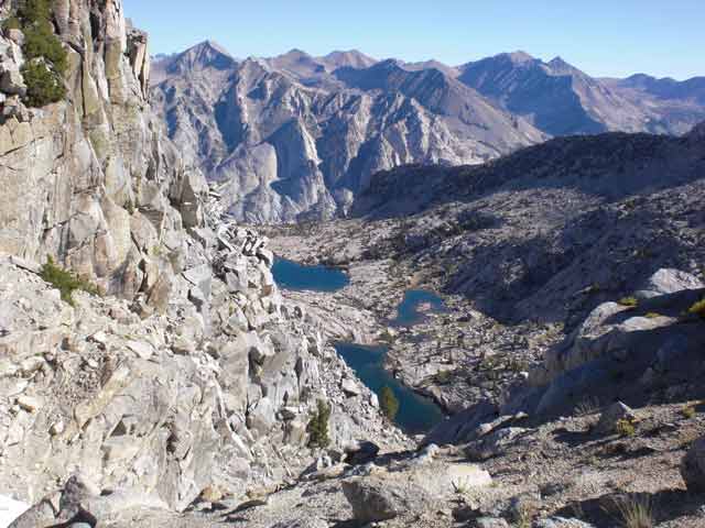
View north from the top of King Col
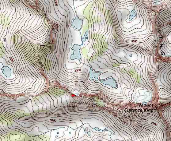
King Col is a direct route from Gardiner Basin to Woods Creek (at Castle Dome Meadows). Both Secor and the Mt. Pinchot quadrangle guide say to "climb steep slopes to the gentle sandy slope leading northeast to the top of King Col. Descend the northeast side of the pass on steep loose rock and sand." What neither of these sources tell you is that there is a vertical ice sheet at the top! Map.