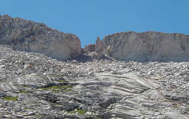
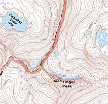
The west side of Finger Col (11,560 ft.+) is the low point on the ridge. The col serves as a route between Blackcap Basin and Goddard Creek. The valley on the east side is quite pleasant. From the top of the col one gets a tremendous view of Blackcap Basin. Map.